0 PEAR RD, SULLIVAN | WASHINGTON COUNTY MO 8.22 (TRACT 2) - SOLD
Property Details
Acreage:
8.22
Price:
$34,000.00
Address:
0 Pear Road
Sullivan, MO 63080
County:
Coordinates:
38.154730 / -91.040445
Price Per Acre:
$4,136.25
Property Type:
Missouri Hunting Land, Land Listings, Missouri Farms & Ranches for Sale
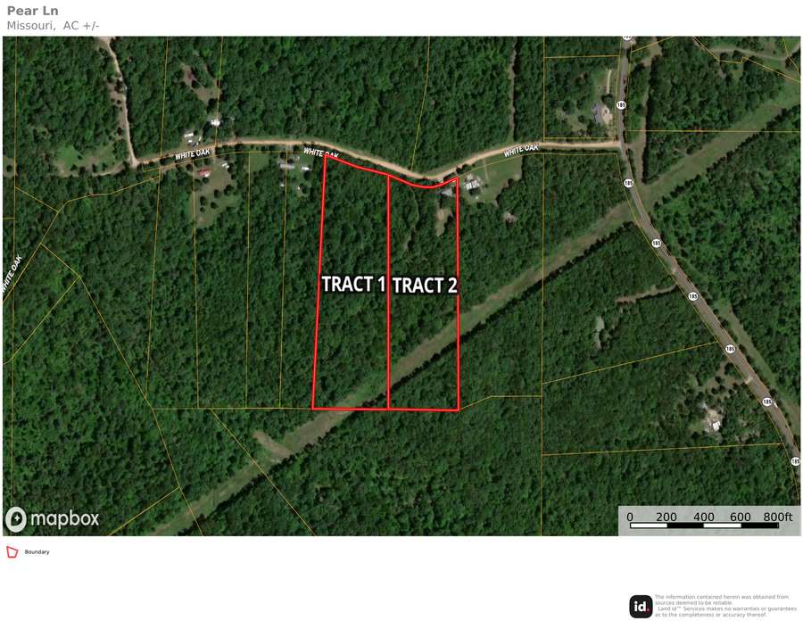
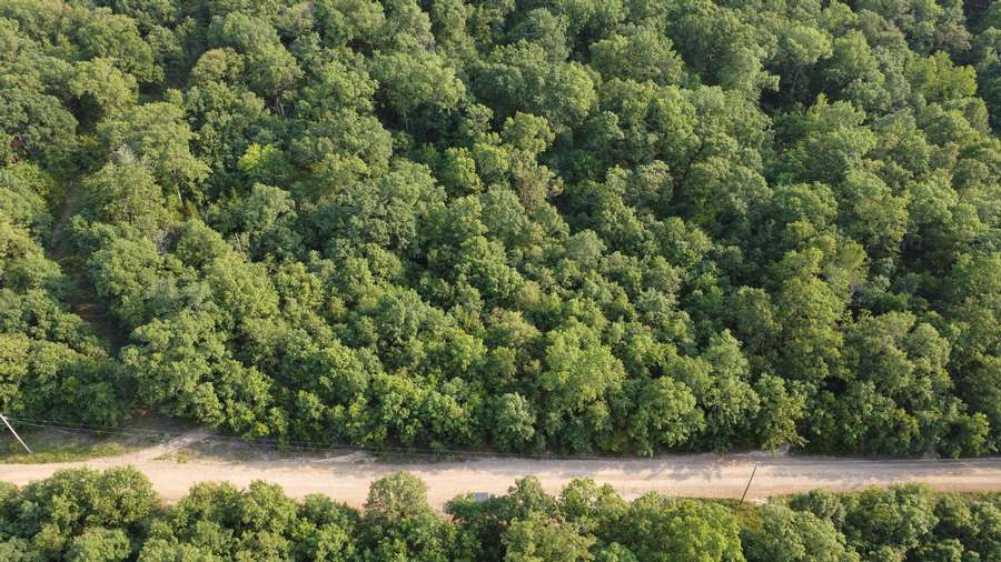
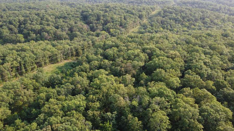
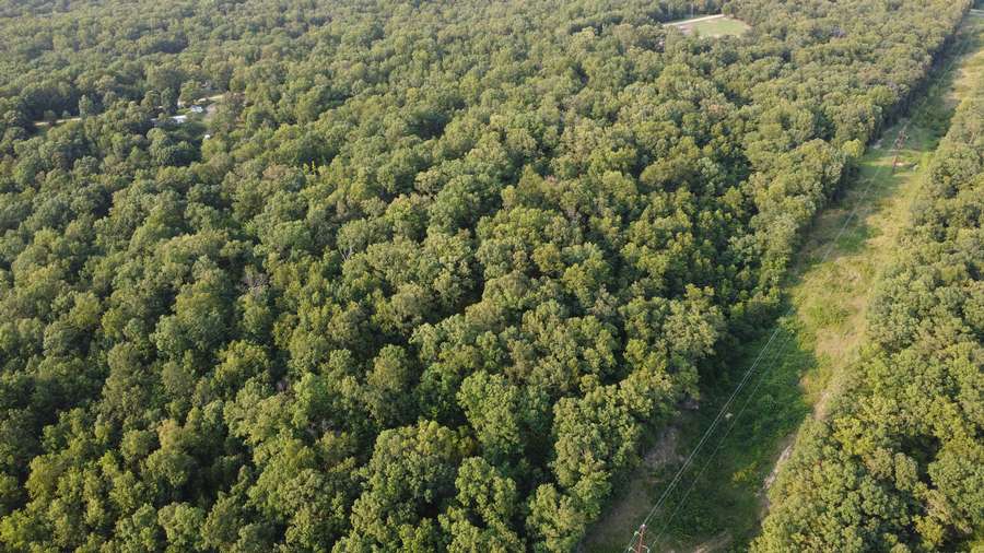
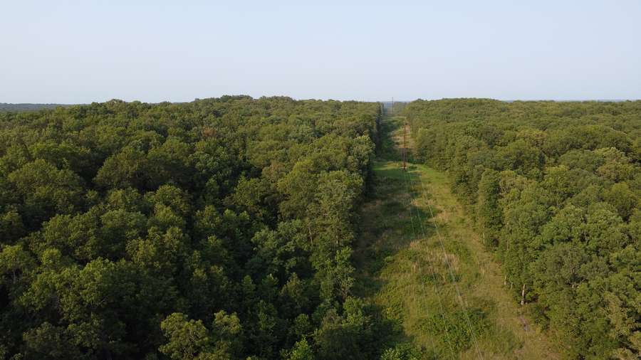
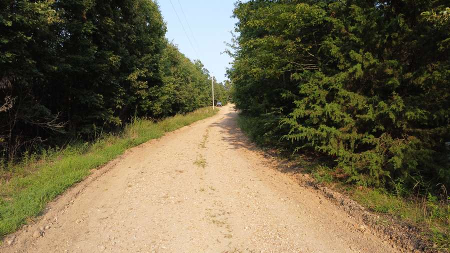
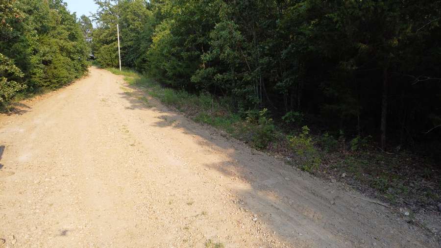
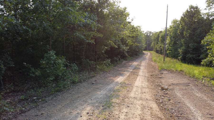
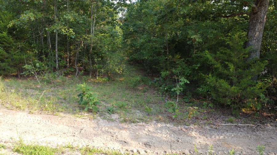
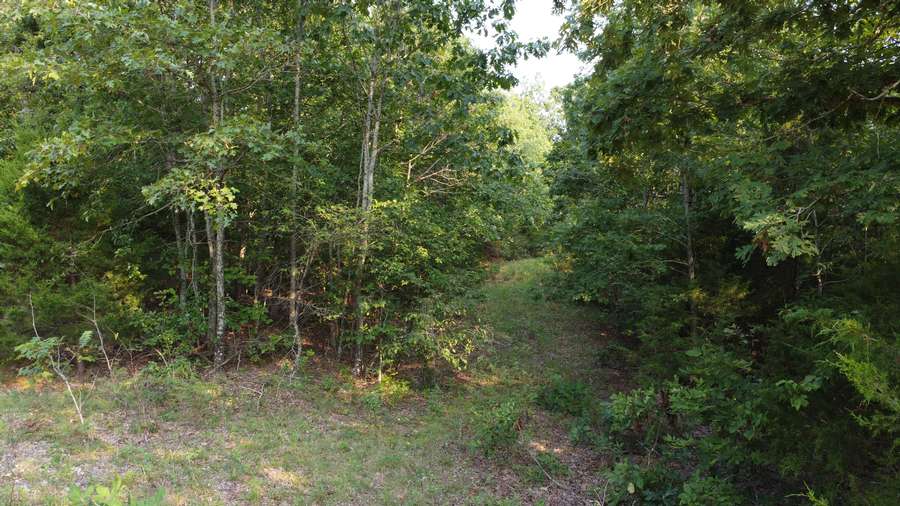
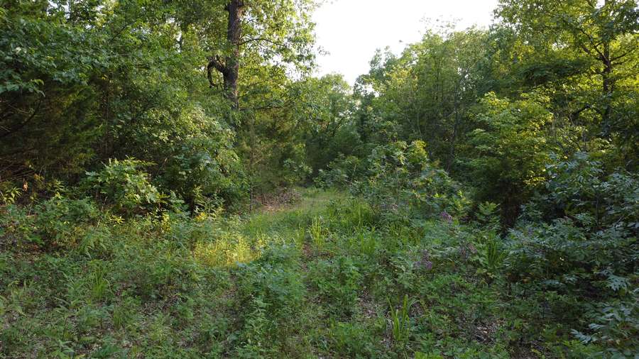
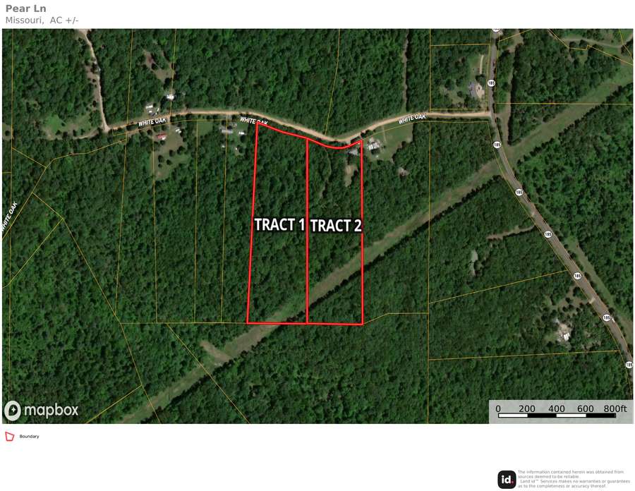
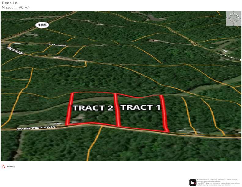
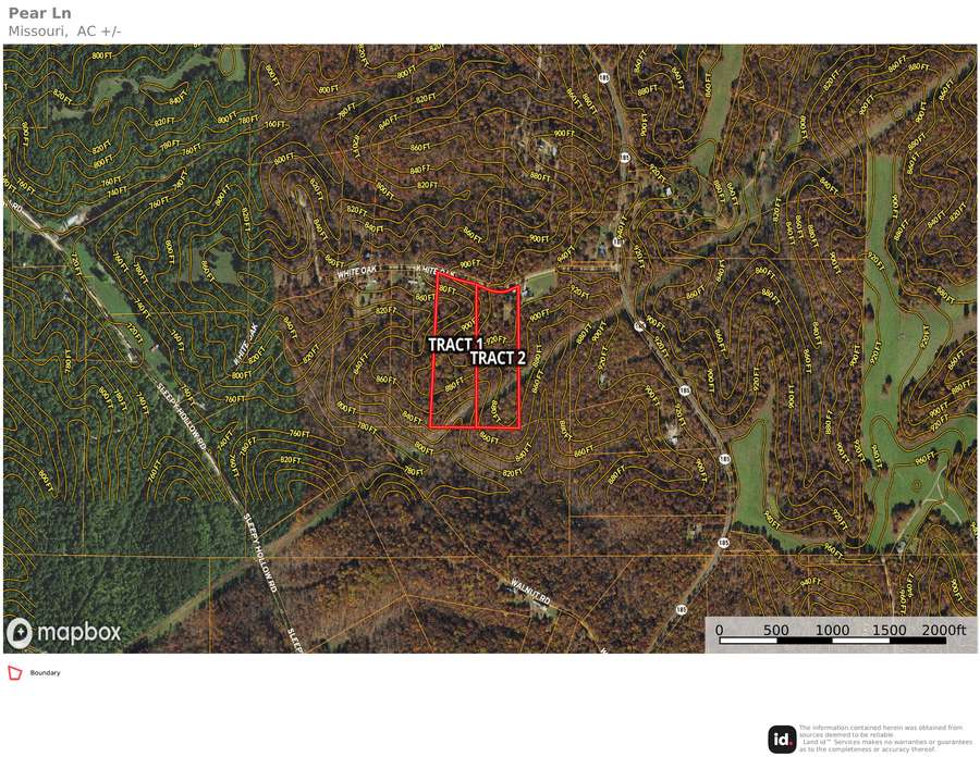
16.45 +/- acres! Located in northwest Washington County just off of Highway 185 and far from the beaten path, this property is being offered as a whole 16.45+/- acre tract, or two 8.22+/- acre tracts. This property is easily accessible and has a take-your-pick of multiple building sites. The north-end road frontage on Pear Rd (formerly White Oak Rd) has accessible power as well as the large powerline running through the southern border. Located just north of Pea Ridge Conservation Area and just East of the famous Meramec River, great hunting and fishing is right around every corner. Plant a garden, live off the land, and make your dream of country living a reality!
? 1 mile from Pea Ridge Conservation Area
? 1 mile from Meramec River
? 11 miles from Sullivan
? 24 miles from Potosi
Don’t miss this opportunity. Call Zachary Adams for a private tour (573) 330-1054.
